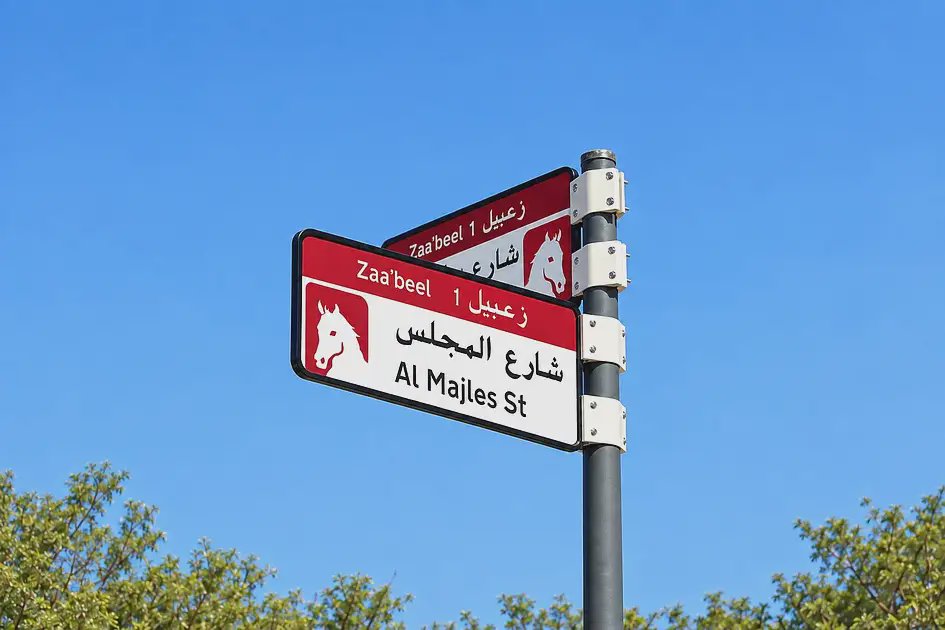
Dubai's Supreme Committee for Urban Planning, working with the Roads and Transport Authority and Dubai Municipality, has unveiled a new addressing system that will gradually replace street signs and house number plates across 186 areas spanning 19 sectors of the city by 2030.
Under the new design, signs and plates will use five distinct colours, each reflecting the geographic character of the area it marks. Blue, for instance, will identify neighbourhoods close to the sea, while gold will be used for areas with a desert landscape. The first phase of the rollout begins in the fourth quarter of this year and covers five areas: Za'abeel 1, Za'abeel 2, Nad Al Sheba, Al Khawaneej 1 and Nazwa. More than 2,000 signs will be installed or replaced during this initial phase.
A key feature of the redesigned house plates is the inclusion of each property's Makani number alongside a QR code, linking the physical address directly to its digital location data. The colour of each plate will match the scheme assigned to its surrounding district, creating a consistent visual identity across each neighbourhood.
Officials say the goal of the initiative is to modernise and simplify the city's addressing system, improve the experience of using location-based services, and strengthen the link between the visual identity of Dubai's streets and the geographic character of each area. The rollout will continue in stages beyond the first phase, gradually extending to the remaining areas until all 186 zones across the emirate are covered by the end of 2030.